


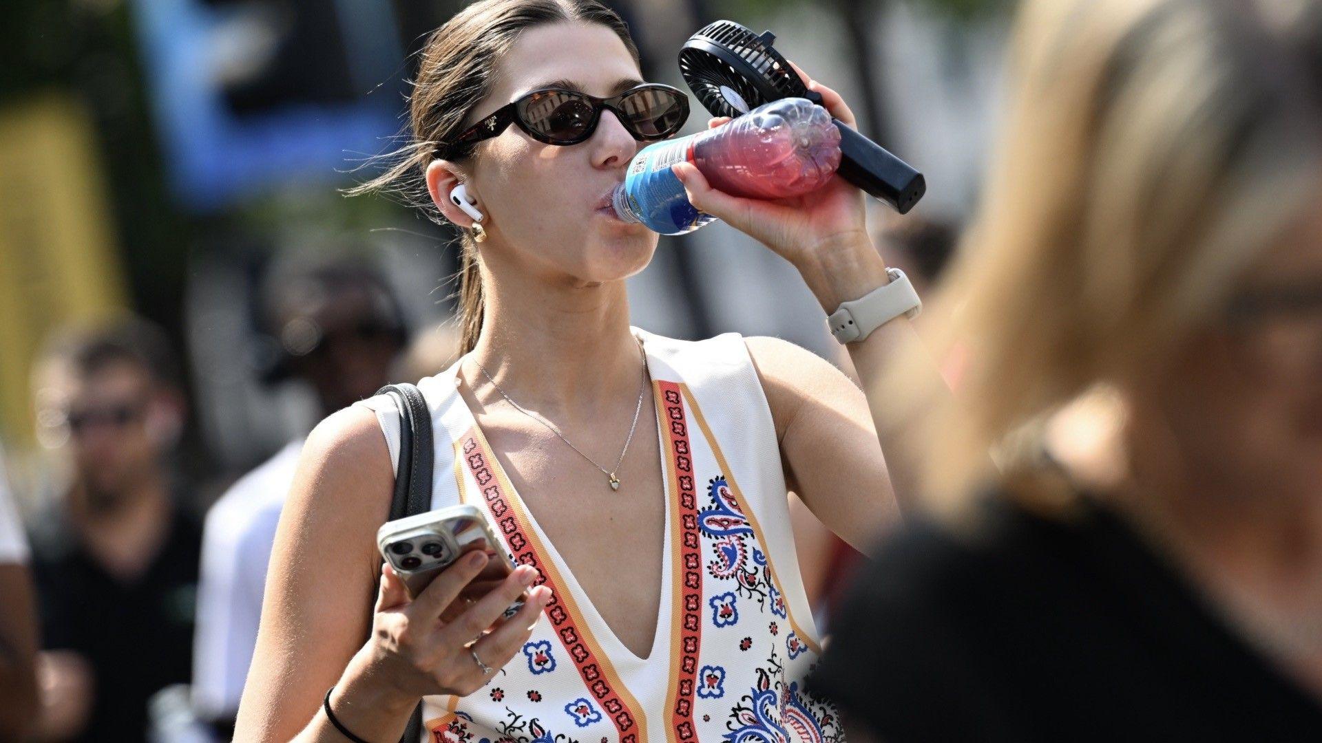
 Image source, Getty Images
The Met Office has expanded its amber extreme heat warning for Monday and Tuesday as forecasts suggest temperatures could climb to 36C (97F) in parts of the UK.
The warning means there are likely to be widespread impacts on people and infrastructure, with the risk of adverse health effects and disruption to travel.
Some locations could see temperatures above 30C (86F) for six or seven consecutive days, with overnight temperatures remaining above 20C (68F) in places.
It is consistent with predictions that heatwaves are becoming more frequent and intense globally due to human-induced climate change.
Will a heatwave be declared on Saturday?
For a hot spell to officially become a heatwave, temperatures must exceed a threshold – which varies from 25-28C (77-82F) in different parts of the country – for three consecutive days.
There are parts of eastern England that have so far recorded two days above this threshold so a third, on Saturday, would mean a heatwave being declared.
However it is possible that maximum temperatures may fall slightly short of these highs.
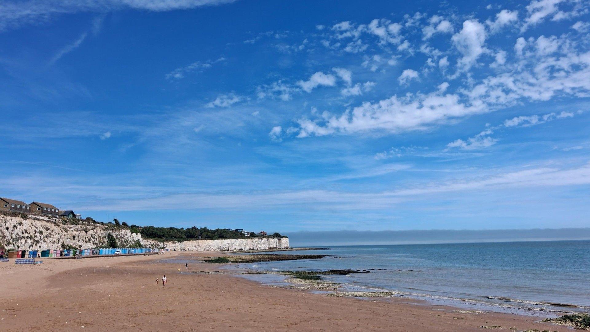
The highest temperatures are focused in the south and east of the UK with cooler conditions further north.
You can check the forecast temperatures for your area on the BBC Weather website and app.
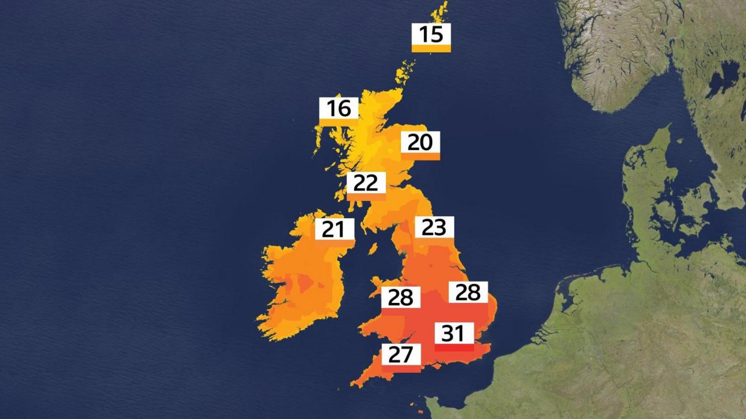
Temperatures will start to climb again on Sunday.
Sunny spells are expected in most areas and temperatures are expected to peak at 27-31C (81-88F) in parts of the Midlands, Wales and southern England.
Some areas of northern England will reach 23 or 24C (73-75F) while much of Scotland and Northern Ireland will be at 20-22C (68-72F), away from the far north.
High UV and pollen levels are anticipated in many places.
Extreme heat on Monday and Tuesday
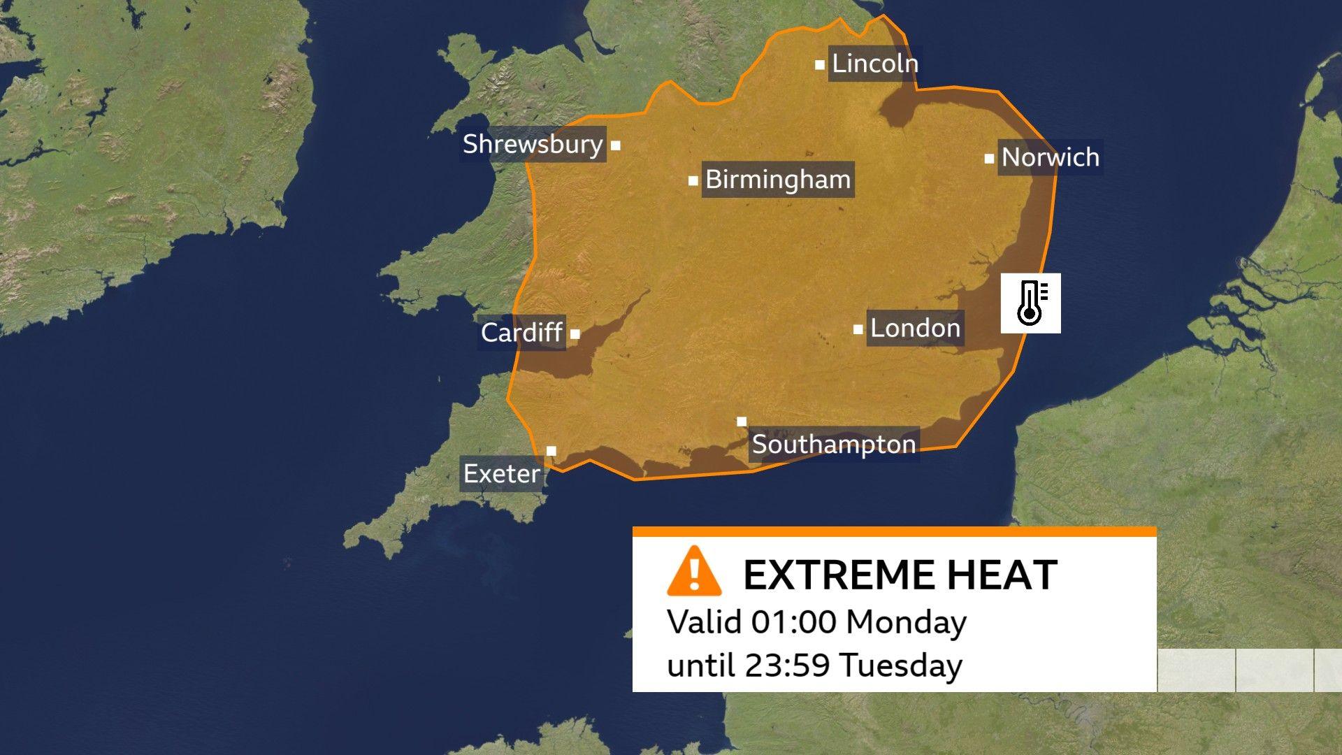
The Met Office amber warning for extreme heat, external will come into force across much of southern and eastern England and parts of south Wales from 01:00 BST on Monday.
The Met Office has widened its amber heat warning to cover east Wales and much of the Midlands, saying very high temperatures and warm nights are likely to cause widespread impacts on people and infrastructure through Monday and Tuesday.
This remains valid until 23:59 on Tuesday, with temperatures set to peak at 35 or 36C (95-97F) in south-east England.
It is highly likely that a heatwave will be officially declared in some areas.
There will be tropical nights in some locations where overnight temperatures are expected to remain above 20C (68F).
This combination of hot days and very warm nights is likely to bring a range of impacts to people and infrastructure.
There is a risk to health, especially for elderly and vulnerable people.
The UK Health Health Security Agency has already issued separate amber and yellow heat health alerts across large swathes of England.
However, even in younger and healthier people there is a risk of health conditions such as sunstroke and heat exhaustion.
Delays and disruption to travel networks and power supplies are possible.
There is also the potential for scattered intense thunderstorms, especially for parts of England and Wales, which could pose an additional hazard.
When will the heatwave end?
Some forecasts suggest temperatures could hover around 30C for six or seven consecutive days in places, perhaps continuing to reach the mid-30s at times, although there is some uncertainty.
This current hot spell follows a record breaking May where the UK recorded its warmest May day.
The Met Office says heatwaves are becoming more frequent and more intense globally due to human-induced climate change.
Scientists project that hot spells will become more common in our changing climate, particularly in the south-east of the UK, saying it is “virtually certain that human influence has increased the occurrence and severity of extreme heat events”.
The developing El Niño is not responsible for this current hot spell, with the peak effects expected later this year and into 2027.
Get in touch
How has the hot weather affected you? Tell us how you’ve been managing the heat.

-
1 hour ago