



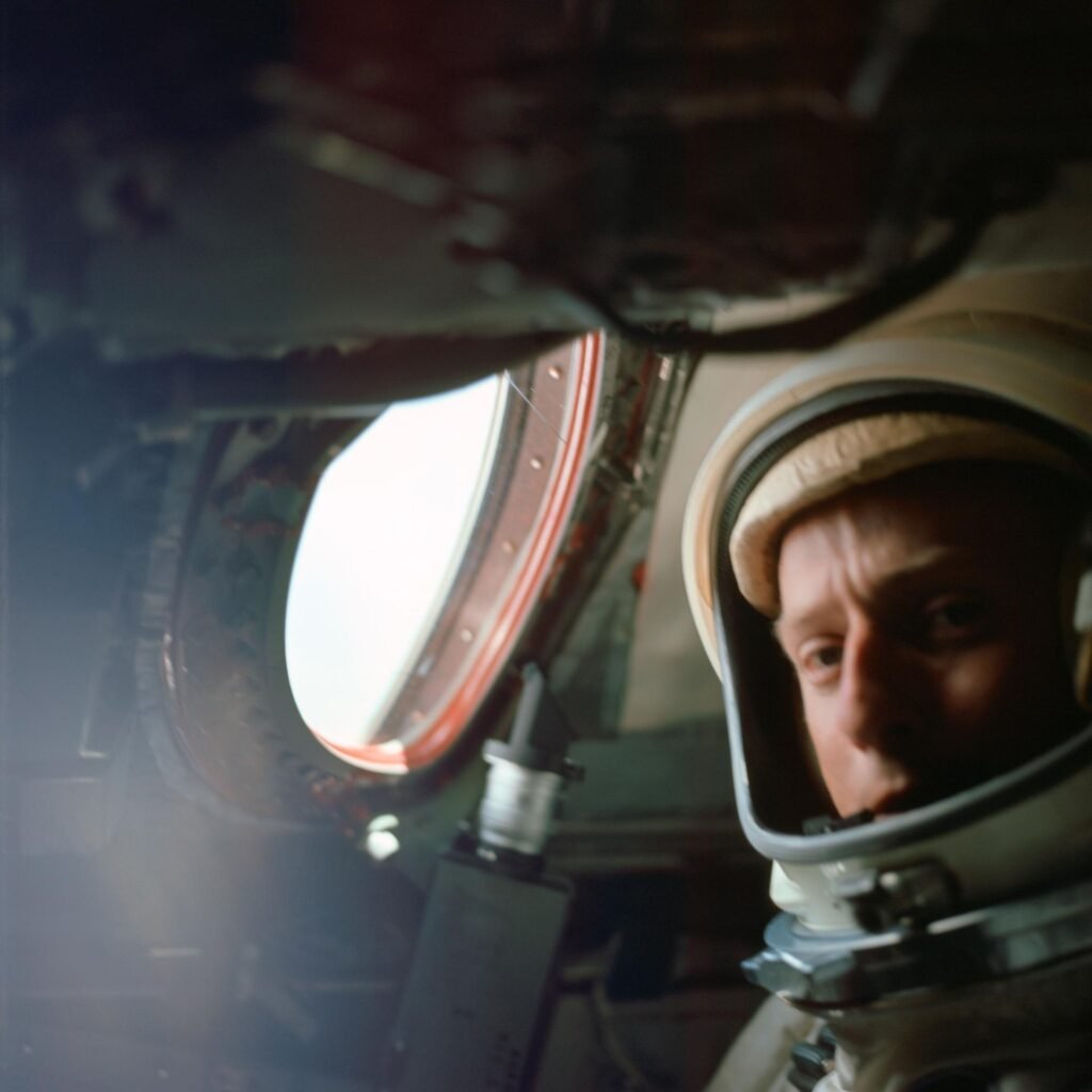
The View from Above: The Gemini Visual Acuity Experiments

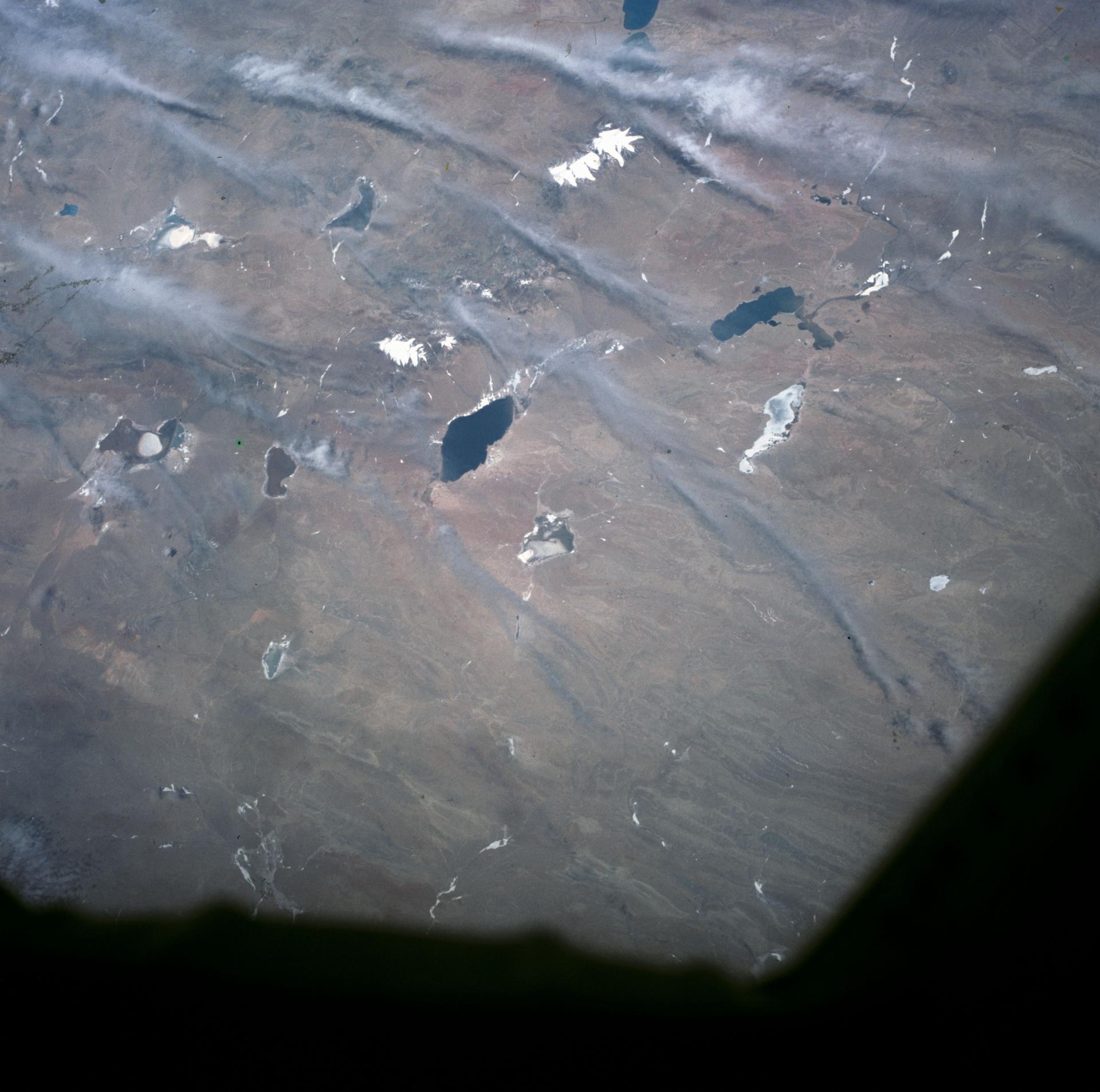
NASA/L. Gordon Cooper Jr.
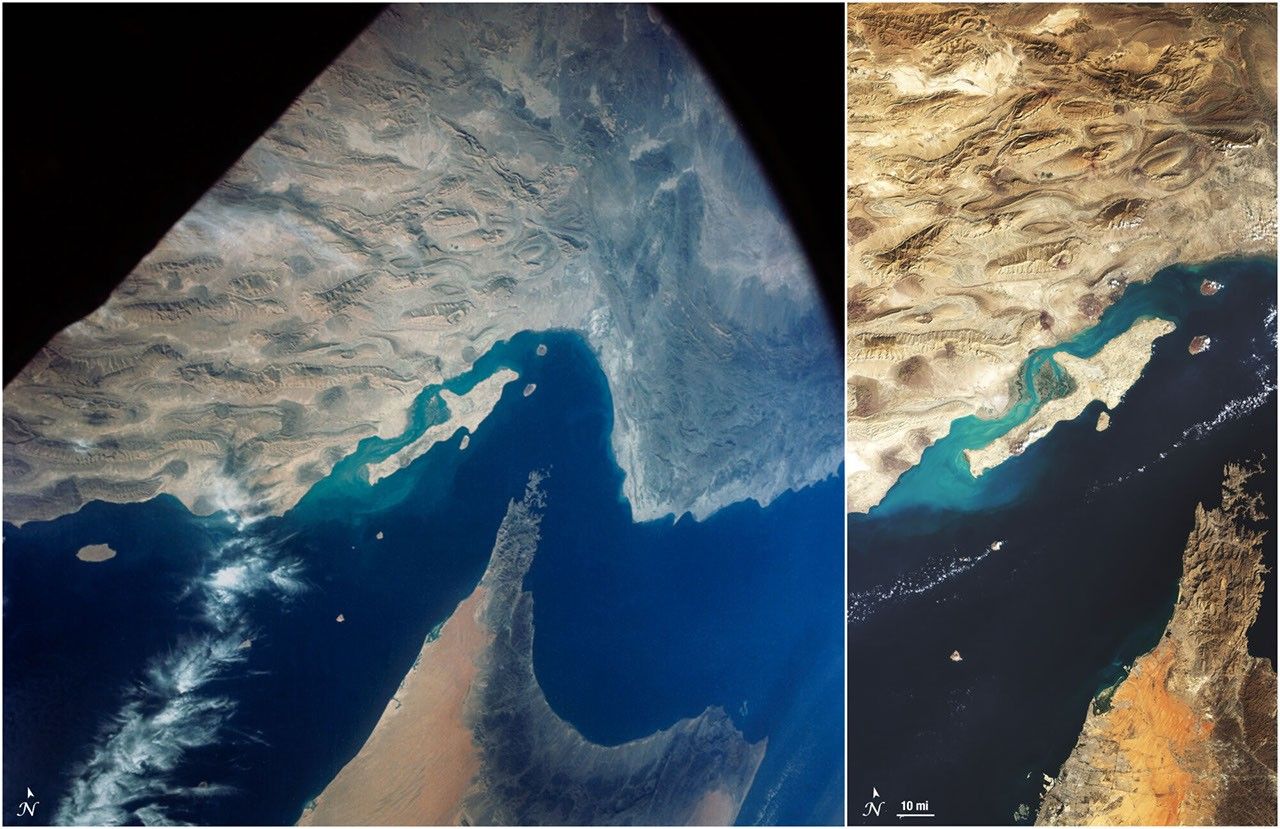
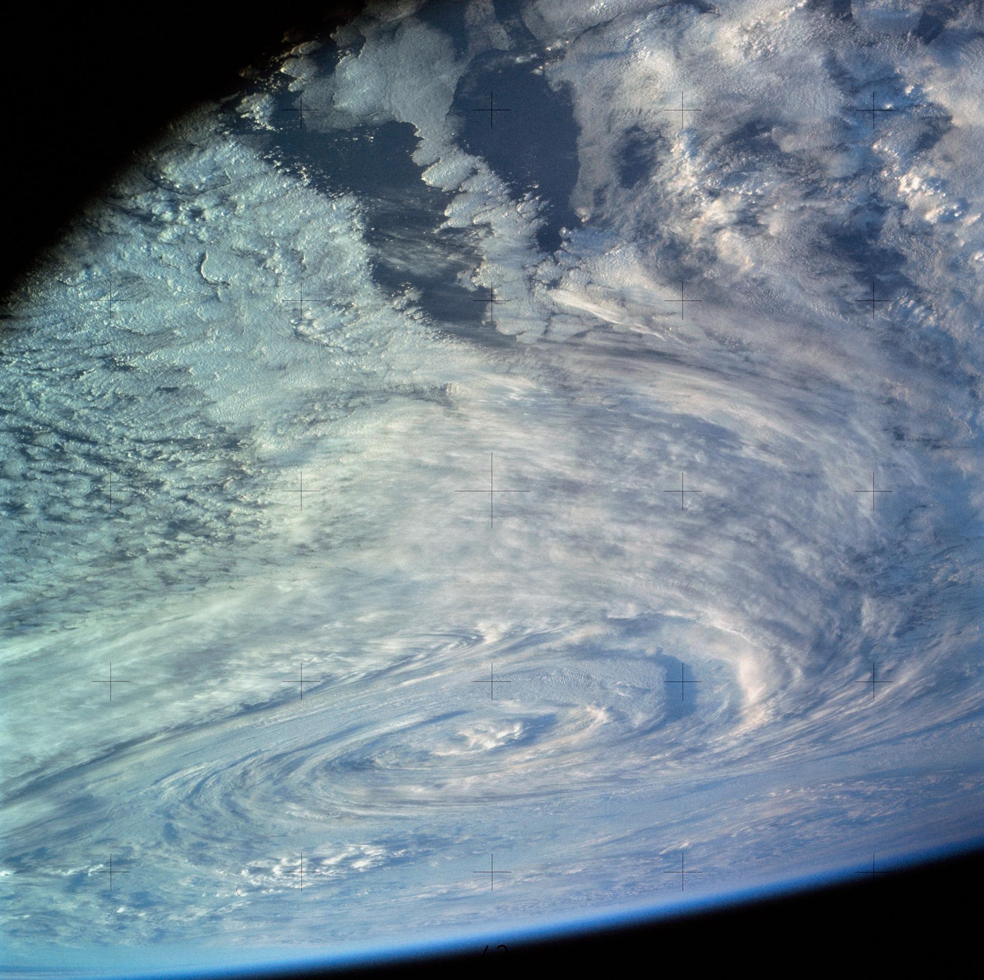
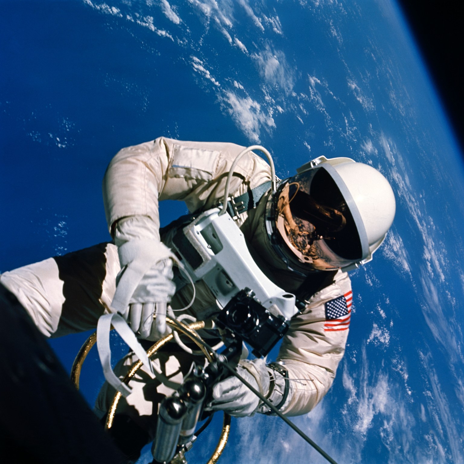
NASA astronaut L. Gordon Cooper, Jr. took 29 color photographs of the Earth with a 70mm camera as he orbited our planet during the Mercury-Atlas 9 mission in May 1963. Cooper’s view from the window of his Faith 7 spacecraft was spectacular, and he reported that he could see vehicles motoring on dirt roads, smoke-belching trains, and the tops of houses.
Researchers and members of the public had their doubts. Could Cooper actually see objects on the Earth’s surface in such fine detail while orbiting 100 miles above the planet? Some vision experts assumed that astronauts with 20/20 vision could not clearly see objects with sides less than 150 feet long at orbital altitudes. Although Cooper reportedly had exceptional 20/12 vision, certainly he could not see a white automobile kicking up a dust cloud near the U.S.-Mexico border as he claimed. Cooper, however, was not alone in his assertions. Other Mercury astronauts also reported seeing objects on the Earth in striking detail.
These claims caused mental health professionals to question the sanity of NASA’s first astronauts. A story in Air Force and Space Digest noted that some psychiatrists speculated that “weightlessness was causing the astronauts to hallucinate and that the space program was in for serious trouble.” While mental health experts considered the effects of space flight on the brain, visual acuity experts mulled over the Mercury astronauts’ assertions and developed an experiment to determine what they could see on Earth from space.
Putting Astronaut Vision to the Test
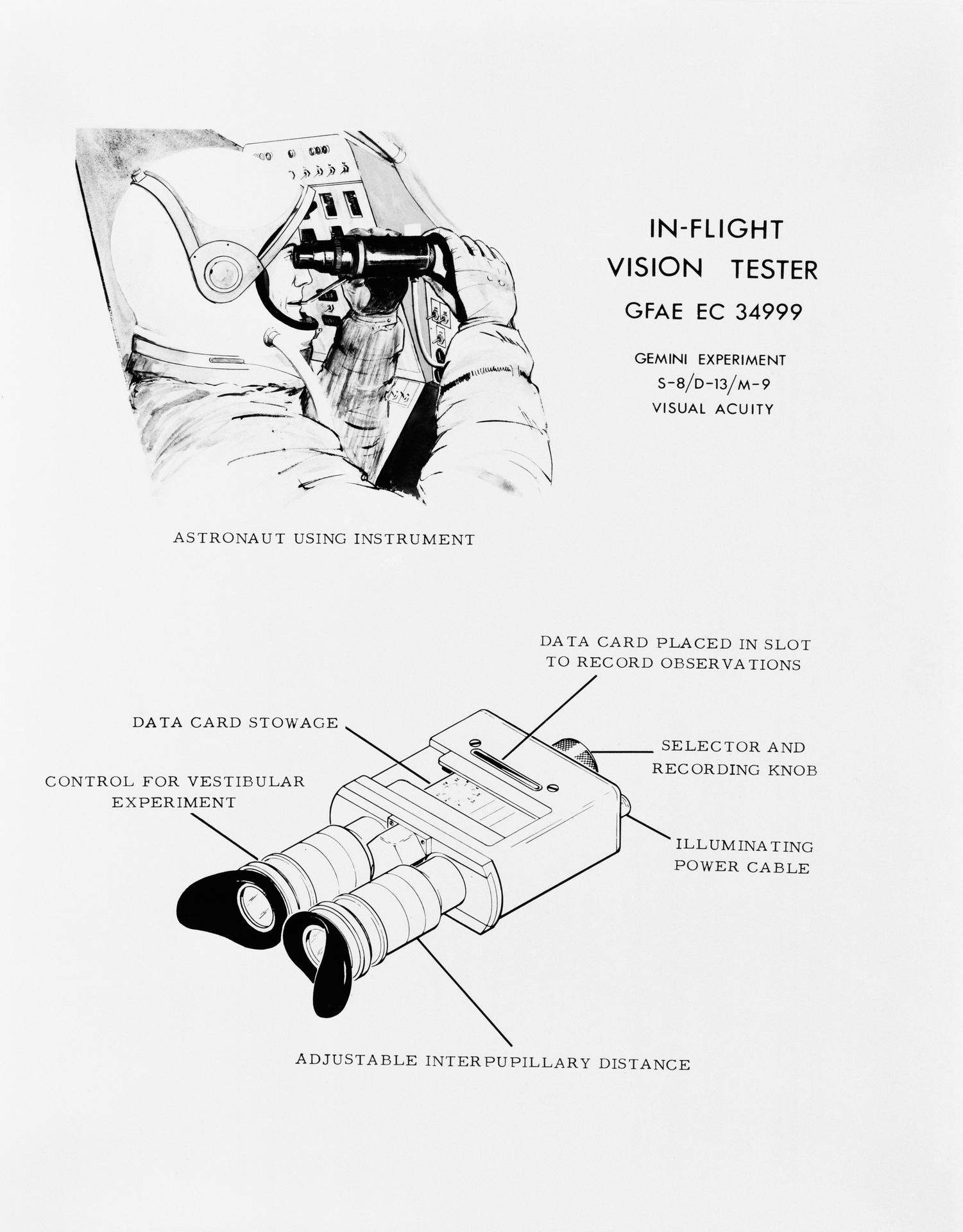
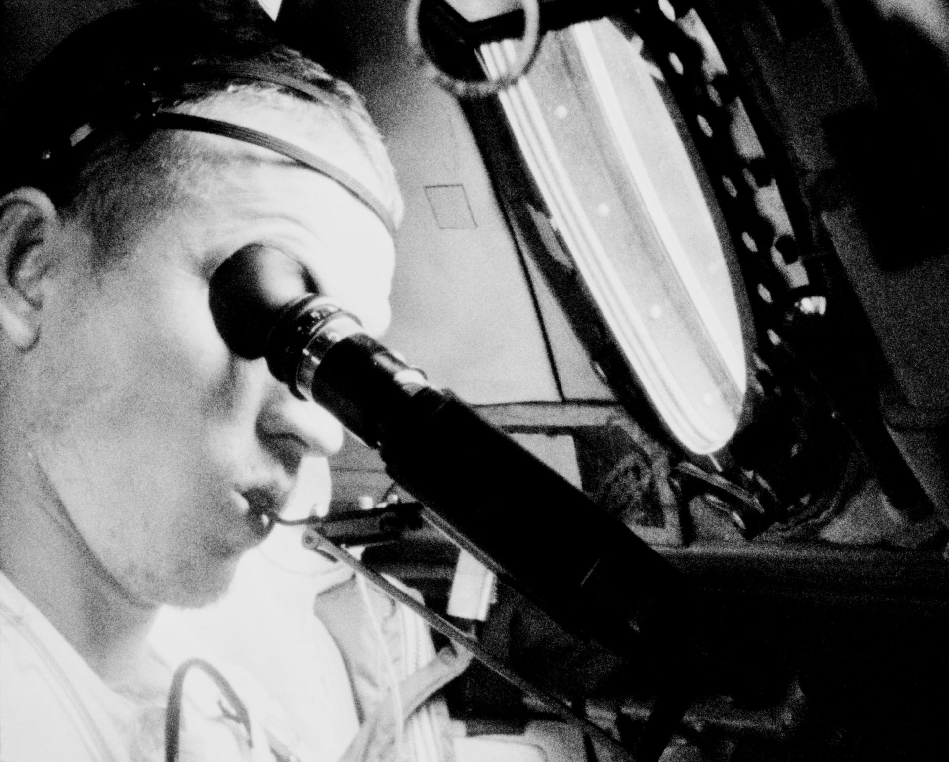
NASA and its partners developed two visual acuity experiments and conducted them during the crewed Gemini V and Gemini VII missions. The first experiment involved looking through an optical device reminiscent of binoculars. Test subjects looked through the eyepieces to see an assortment of rectangles in various positions and levels of contrast. They were then asked to identify the directional orientation of the rectangles.
Another part of the experiment involved creating two enormous terrestrial eye charts composed of gigantic white rectangles. The rectangles, created by the Dow Chemical Corporation, ranged in size from roughly 150 to 600 feet long. The experiment team placed one set of rectangles on dark tilled soil in Laredo, Texas and another near Carnarvon, Australia, and asked Gemini V and VII astronauts to identify their directional orientation from orbit. This visual acuity tool was nicknamed the “Eye-Q” chart.
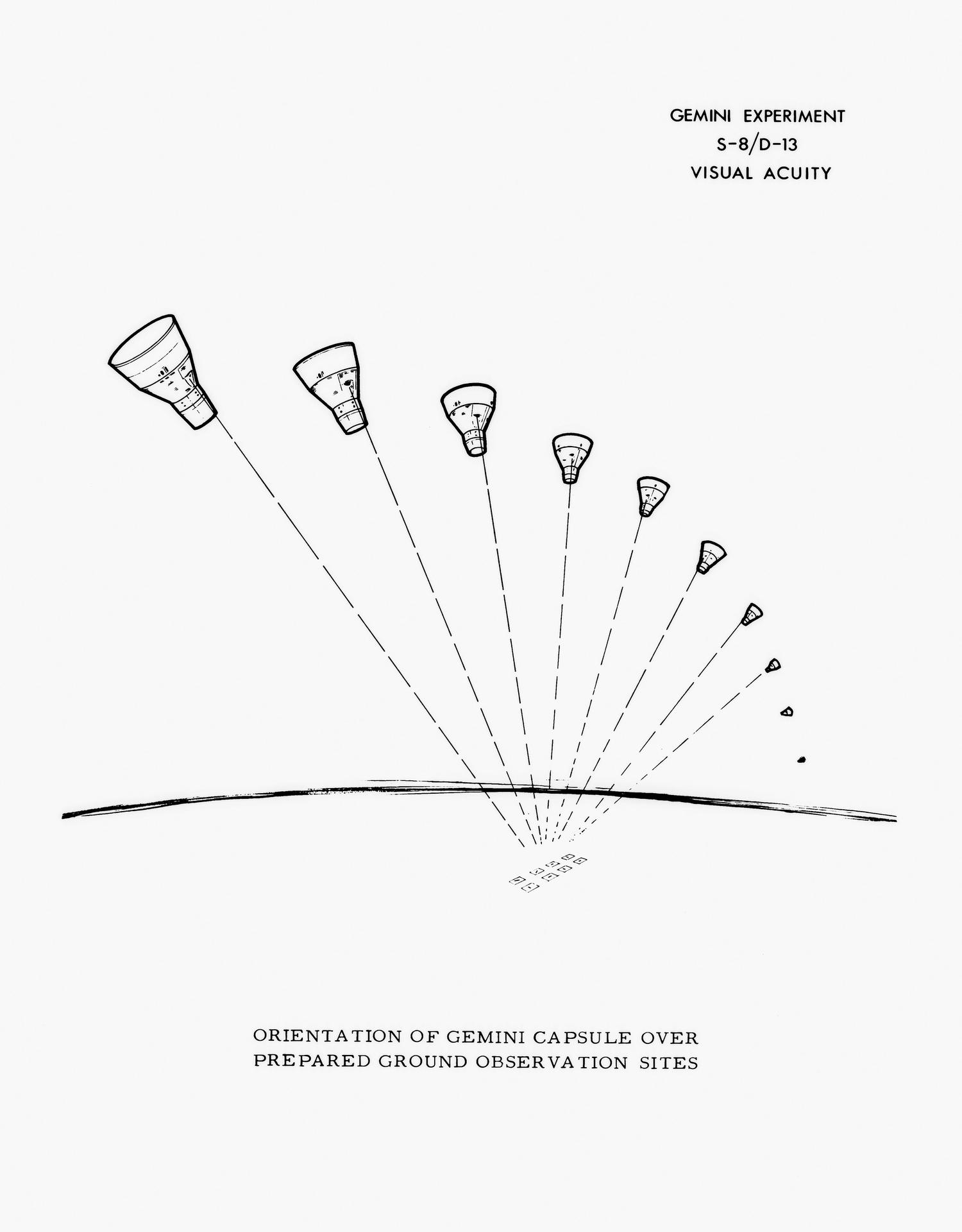
Cloudy conditions, sunlight scattered by the window of the Gemini spacecraft, and unfavorable orbital orientations during overflight all impacted the astronauts’ views of the ground-based experiments. Nevertheless, during some orbital revolutions, astronauts on both missions were able to see portions of the ground site near Laredo.
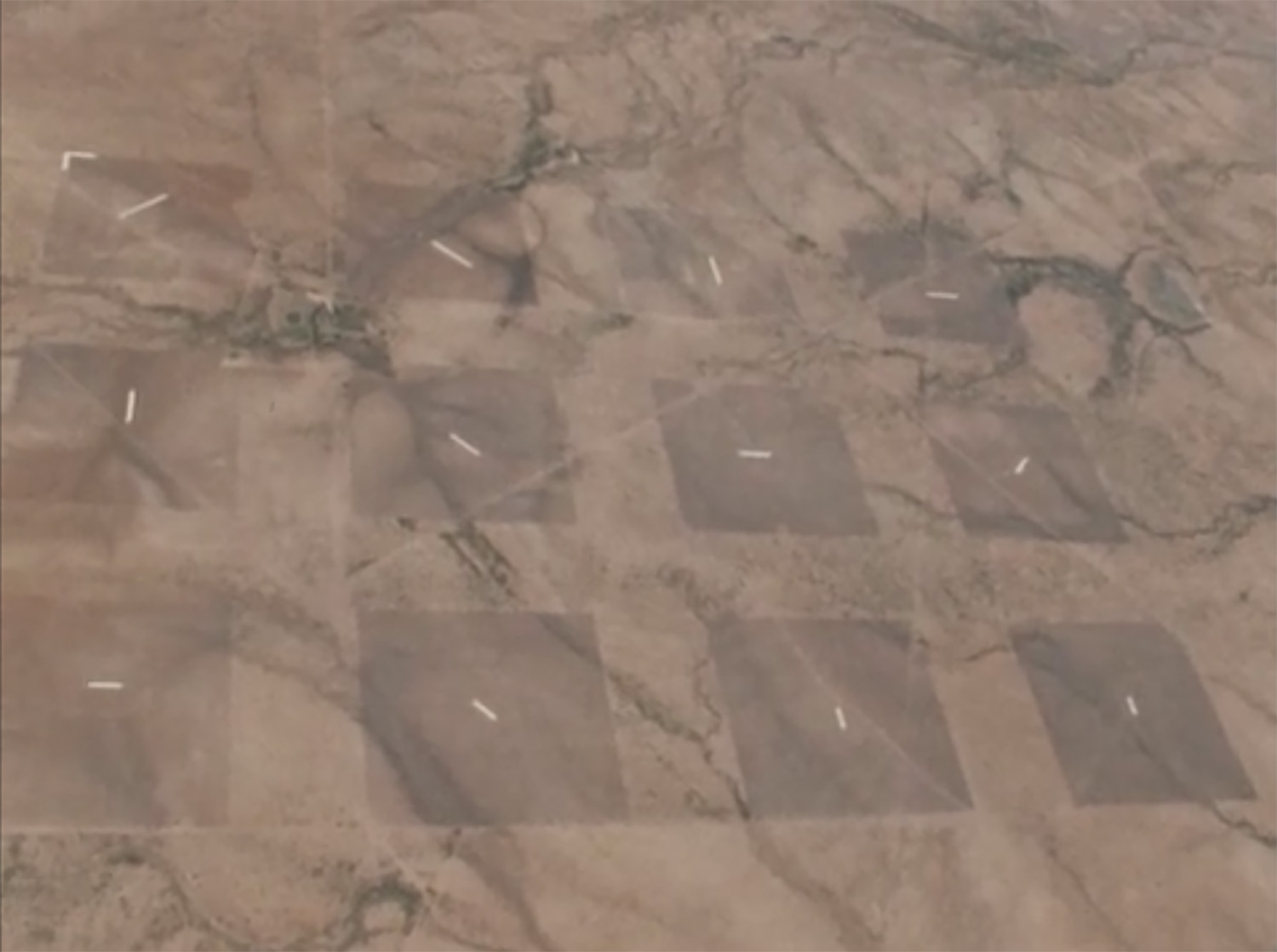
Their reports on the Laredo “Eye-Q” site, combined with the results of the binocular-like vision tester experiments conducted before, during, and after the flight, revealed that astronauts could in fact see roads and ships with following wakes from orbit. The experiments also determined that an astronaut’s vision did not deteriorate during a two-week spaceflight.1
Implications
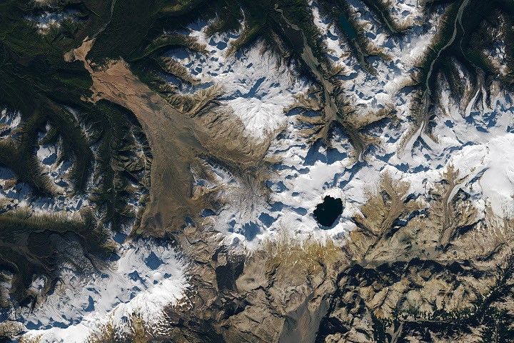
Determining what features on Earth astronauts could accurately see from orbit was about much more than sanity checking astronaut reports. Understanding what human eyes could see from space, as well as seeing the photographs taken on NASA’s early crewed missions had huge implications for geologists, geographers, oceanographers, and others studying our planet.
The scientific community’s interest in the recollections and photographs of the Earth’s surface as seen by the Mercury and Gemini astronauts motivated NASA and its partners to advocate for new Earth-observing instruments. NASA, the U.S. Geological Survey, the Office of Naval Research, and the U.S. Department of Agriculture noted that surface images of the Earth captured from above could be used to inventory crops, map geological features, monitor natural disasters, and better understand the ocean’s processes.
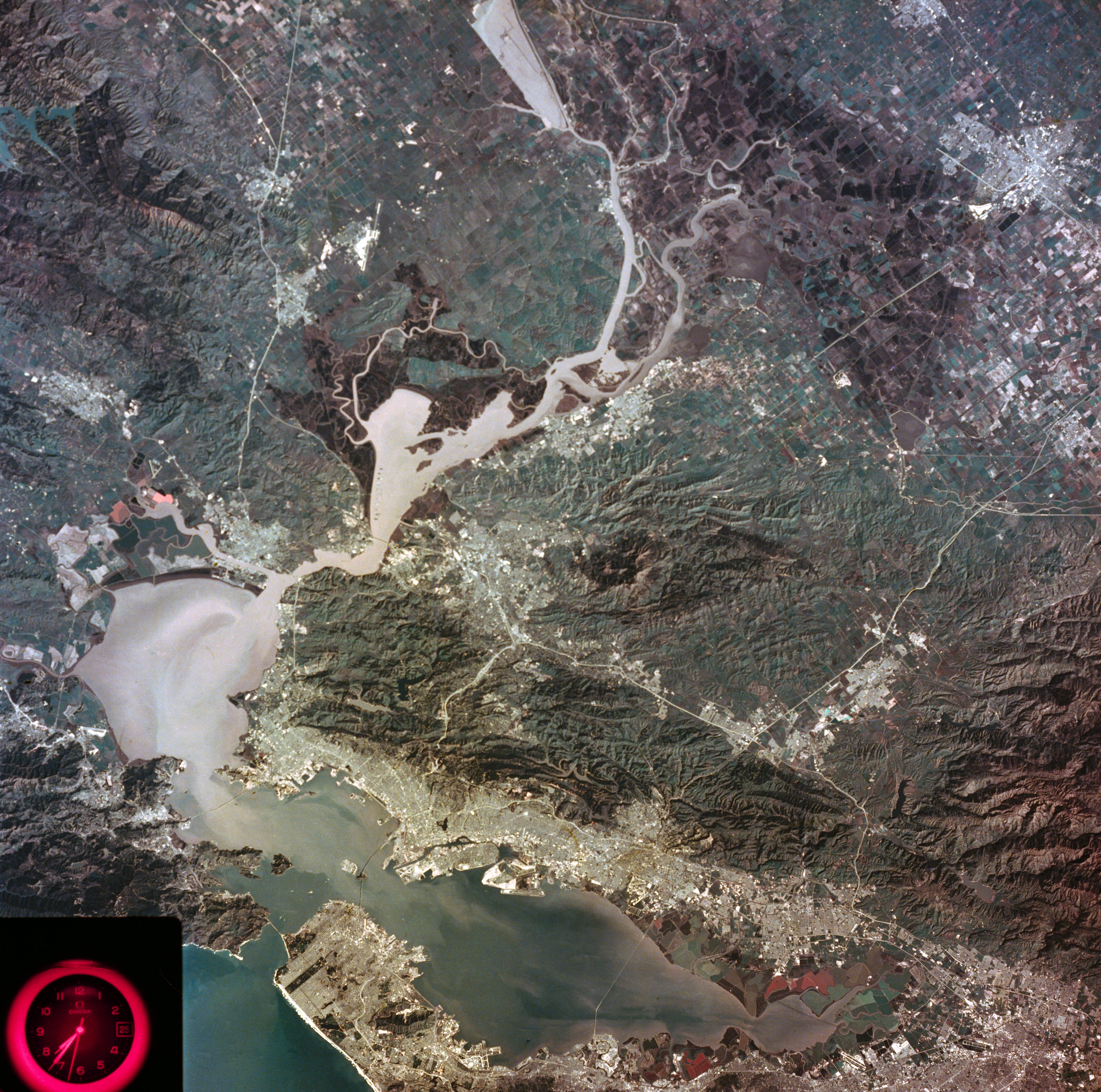
The promise of these real-world applications motivated the creation of the Earth Resources Technology Satellite (ERTS), later renamed Landsat 1. Launched by NASA in 1972, the data from Landsat 1’s camera and multi-spectral scanner were used along with data from the agency’s Earth Resources Aircraft Program to monitor the oceans, agricultural fields, natural disaster sites, and more.
In the six decades since America’s first pioneering human spaceflights, NASA has continued to observe the Earth from orbit, aircraft, and even ground level in a continuing quest to help solve problems here on Earth.
Note
[1] In subsequent years, scientists have documented that roughly 70% of astronauts experience Spaceflight Associated Neuro-ocular Syndrome (SANS) during longer spaceflights.